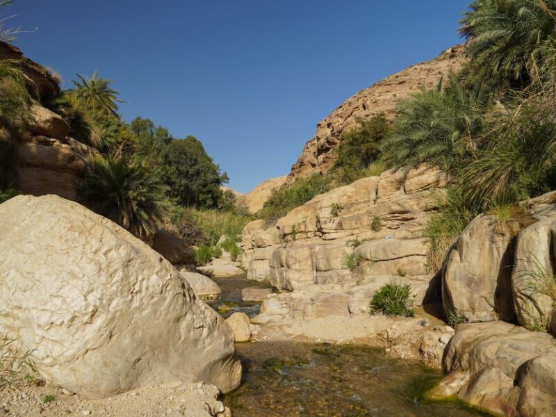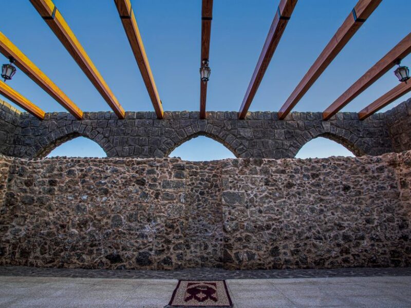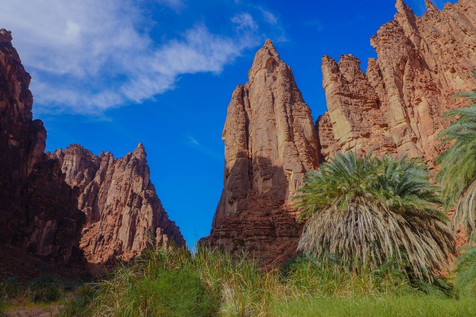
Wadi Qununa is one of the largest wadis in the southwest of the Kingdom of Saudi Arabia, located in Al-Arudiyyah Governorate in the Makkah region, and is considered one of the largest wadis in the Saudi Tihama. The wady combines flowing water, dense orchards, and rock formations, making it a natural destination for those seeking mountainous and agricultural landscapes in the region.
Al-Arudiyyah Governorate and the Location of Wadi Qununa
Wadi Qununa is located in Al-Arudiyyah Governorate in the Makkah region, specifically in North Al-Arudiyyah, with a total length of approximately 108 kilometers. The wady’s tributaries begin in the highlands of the Hijaz mountains, originating from Mount Al-Bals to the lands of Bani Al-Muntashir Nakhase, then Bani Bahir in Balqarn, then the lands of Bani Isa, and flows downhill towards the west towards Bani Zaid and the city of Al-Qunfudhah.
Al-Arudiyyah Governorate lies within the range of the Sarawat Mountains and is a governorate that includes historical landmarks and tourism assets, as reported by the Saudi Press Agency. The wady is characterized by the abundance and freshness of its water, as well as the multitude of its orchards and the variety of its agricultural crops.
Key Landmarks: Wadi Qununa Dam and the Wady’s Orchards
One of the most prominent landmarks associated with the wady is the Wadi Qununa Dam in Al-Arudiyyah, which combines natural beauty with unique rock formations. The dam is an attraction for those wishing to view the retained water and the surrounding rock formations, and the area has been described in official reports as having distinctive rock formations.
As for the wady’s orchards, they are a landmark in their own right; Wadi Qununa is distinguished by its numerous orchards and diverse agricultural crops, including wheat, millet, and sesame, which were previously produced in commercial quantities. It is also famous for date palm cultivation. These orchards, along with the water flow, form an extended agricultural landscape along the wady’s course.
Rainfall contributes to creating an artistic scene in Wadi Qununa, as published about the wady, as the landscape changes with rainfall and water flow in the channel.
Activities to Enjoy in Wadi Qununa
- Nature Watching: Observing the water scene and rock formations at the Wadi Qununa Dam, which are elements mentioned in the site description.
- Exploring Local Agriculture: Viewing the date palm orchards and diverse crops within the wady, a characteristic feature of the wady.
- Family Visits: Traveling around Al-Arudiyyah Governorate to explore its historical landmarks and announced tourism assets.
- Following Rainy Seasons: The scene changes with rainfall on the wady, making timing part of the experience.
Best Time to Visit and Weather in Al-Arudiyyah
Al-Arudiyyah Governorate is located in the range of the Sarawat Mountains. The wady begins in the highlands of the Hijaz mountains and descends west towards Tihama, meaning the route combines a highland environment with a plains environment. This difference in elevation means a variation in weather conditions between the upper and lower parts of the wady.
The most suitable time to visit is linked to rainfall; the water scene in the wady forms with the rain, which is evident in the description of the wady stating that rain creates an artistic scene within it. It is advisable for travelers to check the weather conditions before heading out, especially since the wady is one of the largest in Tihama and extends over a long distance.
Access andTransportation and Accommodation
The flow of Wadi Qanunah runs from the high mountains of Al-Hijaz westward toward Bani Zayd and Al-Qunfudhah city, passing through several locations mentioned in sources: Jabal Al-Balas, the land of Bani Al-Muntashir Nakhsah, Bani Buhayr Balqarn, the land of Bani Issa, and then Bani Zayd. The valley is located in Al-Ardiyat Governorate in the Makkah Al-Mukarramah region and is reportedly a certain distance from the Asir region, specifically from Al-Majaradah Governorate, according to a report about the dam.
Transportation within the valley and its surrounding areas is primarily by car due to its long stretch and the numerous sites along its banks. As for accommodation options in Al-Ardiyat Governorate, they have not been officially announced in the available sources. Travelers can rely on what is available in nearby cities within the region.
Restaurants and Local Food in Al-Ardiyat
The local food in Wadi Qanunah is connected to the produce of its orchards, as it is mentioned that its crops include wheat, millet, and sesame, and that it is renowned for date palm cultivation. These crops reflect the nature of the food associated with this agricultural area.
As for specific restaurant names in Al-Ardiyat Governorate, they have not been officially announced in the available sources. The practical option remains to explore dining choices in nearby cities within the region.
Practical Tips for Visiting Wadi Qanunah
- Check the weather conditions before visiting, as the valley’s water scenery is dependent on rainfall.
- Keep in mind that the valley stretches for about 108 kilometers, so traveling between its sites requires time and planning.
- When approaching the dam and watercourse, stick to safe paths, especially during water discharge periods.
- Respect the surrounding orchards and farms, as they are cultivated agricultural lands and not random picnic spots.
- Bring your basic necessities such as water and food, as the area is rural and not a commercial hub.
Frequently Asked Questions About Wadi Qanunah
Where is Wadi Qanunah located?
It is located in Al-Ardiyat Governorate in the Makkah Al-Mukarramah region, specifically in Northern Ardiyat.
How long is Wadi Qanunah?
Its total length is about 108 kilometers, making it one of the largest valleys in Tihamah, Saudi Arabia.
What are the valley’s most notable features?
The Wadi Qanunah Dam with its rocky formations, and the extensive orchards known for date palm cultivation and crops like wheat, millet, and sesame.
When is the best time to visit the valley?
During rainfall, as the water scenery forms in the watercourse, creating a picturesque landscape, as described.
Sources
- Wadi Qanunah — Wikipedia
- Al-Ardiyat Governorate.. Attractive Landmarks and a Tourist Destination in Al-Sarawat Mountains — Saudi Press Agency
- Wadi Qanunah Dam in Al-Ardiyat.. A Unique Blend of Natural Beauty and Rock Formations — Saudi Press Agency
- Rain Creates an Artistic Scene in Wadi Qanunah — Saudi Press Agency
- Makkah Environment Opens Gates of Wadi Qanuna Dam — Saudi Press Agency
- Discharge of Over 10 Million Liters of Water from Wadi Qanuna Dam — Al-Watan Saudi Newspaper
- Saudi Arabia’s Largest Valley Combines Rock, Greenery, and Water — Al Arabiya